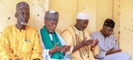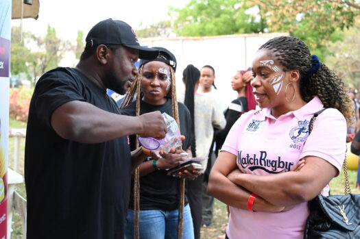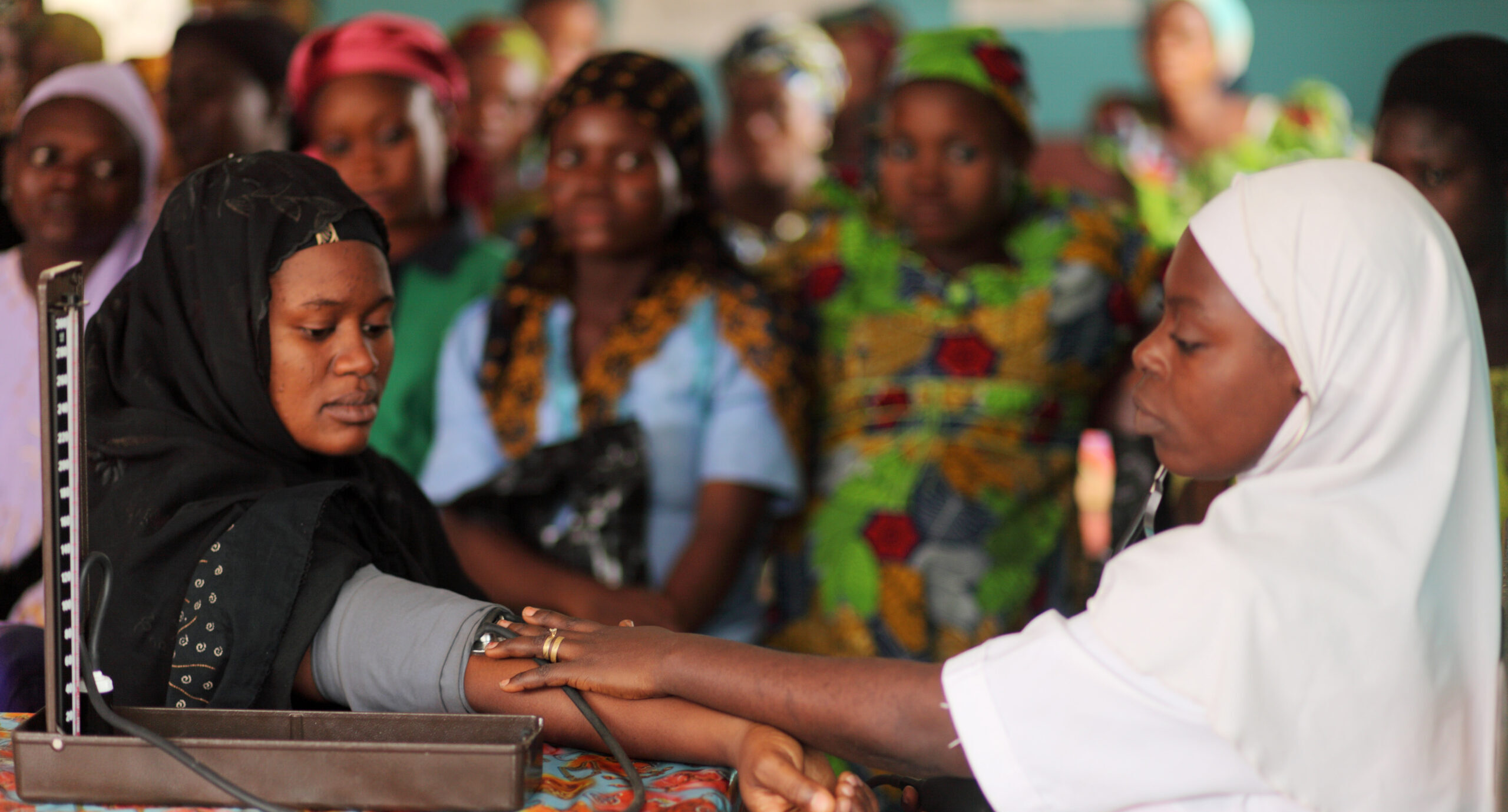
The GeoST4R project, funded by the Bill & Melinda Gates Foundation, employs innovative digital strategies that contribute to data-informed decisions about improving health care for mothers and children in Nigeria. These health care services include reproductive health; maternal, newborn, and child health; and nutrition (RMNCHN) services.
GeoST4R focuses on the use of geospatial data, tools, and technology to improve the identification, coverage, and uptake of RMNCHN services in Kano, Kaduna, Lagos, and Gombe states. The project incorporates successful strategies and best practices used for polio eradication, routine immunization, and COVID-19 prevention and treatment. GeoST4R seeks to address ongoing challenges including lagging investments in RMNCHN, and poorly functioning health care facilities by ensuring the availability of quality data to inform health care decisions, including a centralized database where stakeholders can access the same information in real time.
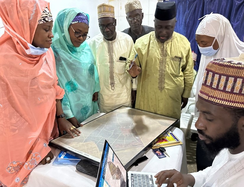
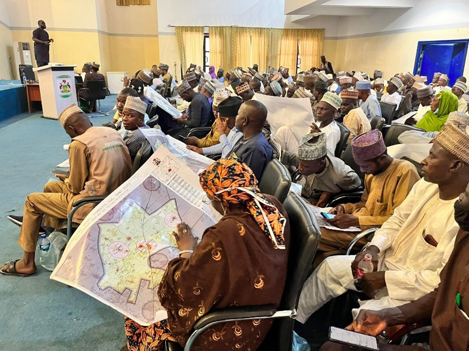
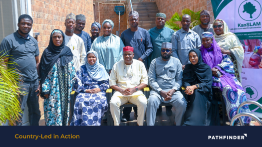
In Kano state, for example, GeoST4R supported the 2024 Integrated Primary Health Care “Reach Every Ward” microplanning activity. Representatives from state and local governments participated in the activity, where they learned how to use digital maps generated from GRID3’s database to update the list of settlements used to make health care decisions and develop health care microplans. A microplan is a detailed tool policymakers and implementers use to deliver care in the most cost-effective way. Integrated annual primary health care microplans are developed at each health facility and collated across wards, local government areas, zones, and states for decision making.
Subsequently, the project supported integrated supportive supervisory visits to monitor the development of the mircoplans across different wards in the state. Integrated supportive supervision served as a further validation exercise at each health facility to ensure that the microplans accurately applied data from digital maps to capture population estimates and catchment areas, and to plan sessions and other parameters. The visits also served to identify and address other gaps in service delivery and documentation.
Key learnings from the activities in Kano include:
- Standardizing definitions is critical: Past vaccination campaigns used the term “settlement” to mean individual houses or streets within larger communities. The ambiguity between streets and houses, misplaced or altered settlement names, and the emergence of new locations contributed to a master list of settlements that ensured comprehensive vaccine coverage, but overestimated settlement numbers. For the 2024 integrated primary health care “Reach Every Ward” microplanning process, Kano state adopted the definition of settlements as a collection of households with multiple points of interest (markets, places of worship, schools, etc.) within a defined geographical boundary and under the jurisdiction of a recognized leader called the district head, or “mai unguwa.” This standardized definition created a more useful and accurate master list of settlement.
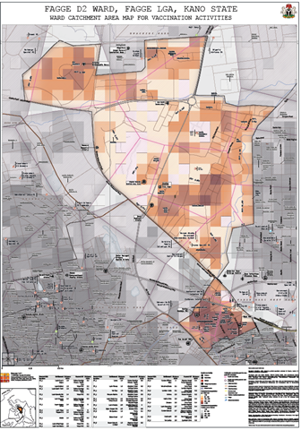
- Digital maps are necessary for accurate geographic estimations: Without using digital maps, for example, Fatima Ganduje Primary Healthcare Center in Fagge D2 ward vastly underestimated its catchment area, neglecting 80 percent of those needing services. They also had targeted older women who were above reproductive age for RMNCHN services. Geo4STR digital maps brought accurate data to the health facility for planning.
- Governments find digital maps compelling: Following Geo4STR support, Kano state plans to issue laptops to health providers and technical officers, exhibiting their interest in strengthening community data and improving digital literacy. The project’s partnership with the government presents a promising opportunity to promote data-driven decision-making from health facilities up through central government.
In Kano, GeoST4R continues to finalize the master list of settlements. The project is also piloting two digital solutions to identify settlements with high the frequency of home births: the Geospatial Microplanning Toolkit, which aims to digitize the entire microplanning process, and the Decision Support Platform, which enables planners to visualize data layers of interest on a map (at the settlement to state level) for decision making. After identifying pregnant women, they will be encouraged to deliver at health care facilities. These initiatives mark a significant step forward in efforts to modernize and optimize health care planning processes, ultimately leading to improved RMNCHN outcomes.
Led by Pathfinder, GEOST4R is implemented by a consortium of partners including GRID3, Natview Foundation for Technology Innovation, and Data Science Nigeria.
Read more about the GeoST4R program here.